Somerset Walks

The Best Family Walks in Somerset

We hope you enjoy these walks. All have been tested by us including our children. We should mention that some of these walks may be in areas near water, with grazing livestock, or near cliff edges, so please exercise caution when walking with children.

Enjoy spending time outside with your family but please remember to leave no trace – take all your litter home, clear up after your dog and leave gates as you find them.

Cheddar Gorge Circular Walk

Discover one of the best family walks in Somerset

Cheddar Gorge

WALK INFORMATION:

Distance: 4 Miles (6.4km)
OS Map: Landranger 182; Explorer 141
Elevation: 340m
Dog Friendly: Yes (beware of cliff edge, livestock)
Start/Finish Grid Ref: ST468543 (Cufic Lane)
What3Words: ///exotic.reclusive.swim
Accessibility: Not suitable for wheelchairs or pushchairs
Parking: Free in Black Rock (limited space) or Cliff St. car park (pay)
Facilities: The Cliffs public toilets, pubs, cafes.
Kids will love: Cave to explore, awesome views, feral goats, tearoom!

Kilve Beach Circular Walk

Discover the best fossil beach in Somerset

East Quantoxhead and Kilve Beach

WALK INFORMATION:

Distance: 2.7 Miles (4.35 km)
OS Map: Landranger 181; Explorer 140
Elevation: 40m
Dog Friendly: Yes (beware of live stock). Dogs are allowed on the beach all year round
Start/Finish Grid Ref: ST 14946 43046 (East Quantoxhead Village)
Parking: East Quantoxhead Car Park
What3Words (parking): ///steroids.beast.drumbeat
Accessibility: Not suitable for wheelchairs or pushchairs
Level of Difficulty: Easy
Kids will love: Fossil beach, rockpooling, stream, woods, great views, fairytale cottages and tearooms selling ice cream
Facilities: Public Toilets, Pub and Tearooms at Kilve

Abbots Pool Circular Walk

Discover the magical Glastonbury Tor with far reaching views over the Somerset Levels.

Abbot's Pool

Distance: 1.85 miles/3 km
Walk Time: 1 – 1.5 hours
OS Map: Landranger 172; Explorer 155
Elevation: 35m
Dog Friendly: Yes (keep on a lead around grazing livestock). No swimming in the pool.
Start/Finish Grid Ref: ST 53745 73031 (Car park)
Accessibility: Not suitable for wheelchairs but perhaps for a good all-terrain buggy if you avoid the steps by the pool.
Parking: Small (FREE) car park off Manor Road or limited roadside parking in layby on Weir Lane.
What3Words (car park): ///intent.finds.hero
Facilities: None. A picnic and a flask of tea is a must. The nearest pub is The George Inn, Abbots Leigh.
Kids will love: Ducks to feed, logs to climb, wildlife to spot, fallen tree bridge to cross, woods to explore, dens to build, and bluebells to spot in spring.

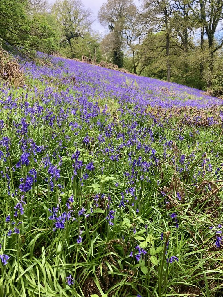
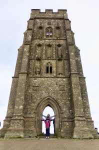
Glastonbury Tor Circular Walk

Discover the magical Glastonbury Tor with far reaching views over the Somerset Levels.

View of Glastonbury Tor

Distance: 2.5 Miles (4 km)
OS Map: Landranger 182/183; Explorer 141
Elevation: 140m
Dog Friendly: Yes (beware of live stock)
Start/Finish Grid Ref: ST50374 38593
Accessibility: Not suitable for wheelchairs or pushchairs
Parking: St Dunstan’s Car Park; Draper and Co., or limited street parking
What3Words: ///retail.character.stuns
Kids will love: Great views, historic monuments, playground, pub lunch and shops in Glastonbury.

Clapton in Gordano Circular Walk

Discover the Gordano Valley and Cadbury Camp with great views over the North Somerset Levels

View over the Gordano Valley. Best walk in Somerset.

Distance: 2 Miles (3.2 km); or 5.2 Miles (8.4 km) with extension to Cadbury Camp
OS Map: Landranger 172; Explorer 154
Elevation: 135m
Dog Friendly: Yes (beware of live stock)
Start/Finish Grid Ref: ST4732573895 (The Black Horse)
What3Words: ///mopped.wishes.regretted
Accessibility: Not suitable for wheelchairs or pushchairs
Parking: The Black Horse pub (patrons only), or limited parking on Clevedon Lane/Wood Lane
Kids will love: Iron Age Hillfort, stream, woods, great views and what looks like a WW2 bomb!

Cadbury Camp Circular Walk

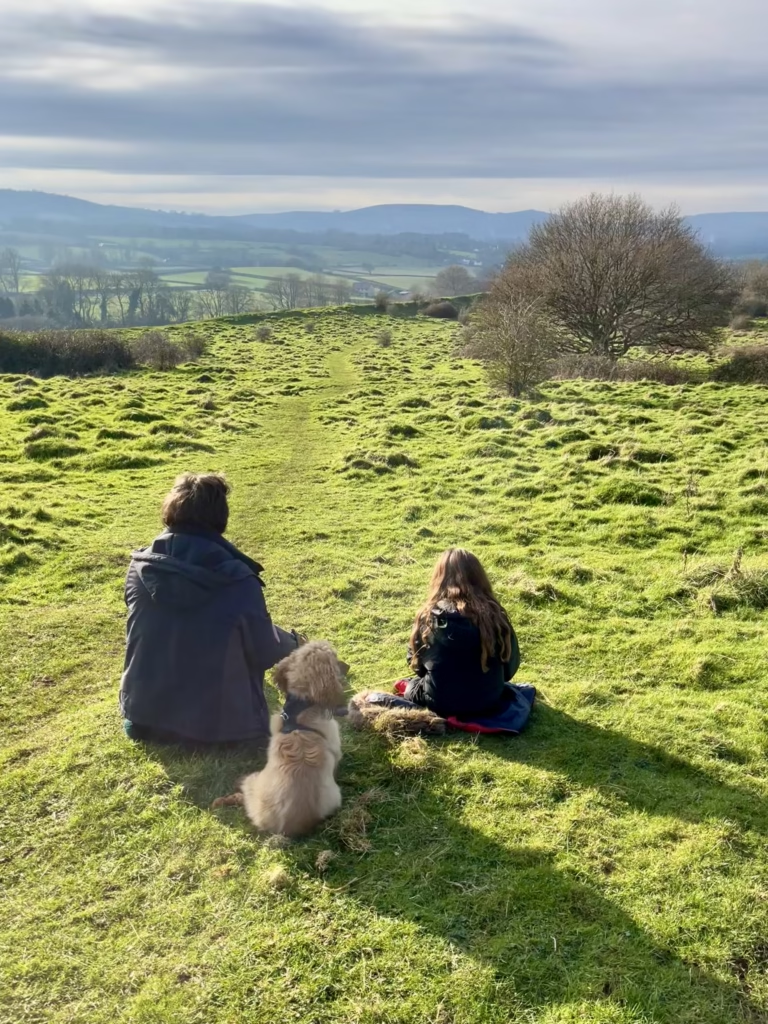
Explore this great family walk to an Iron Age Hillfort, with far-reaching views over the Somerset Levels.

Cadbury Camp Walk


WALK INFORMATION:

Distance: 2.75 Miles (4.4 km)
OS Map: Landranger 172; Explorer 154
Elevation: 120 m
Dog Friendly: Yes but need to be kept on a lead when around livestock
Start/Finish Grid Ref: ST 45810 71434
What3Words: ///digits.pine.bumpy
Accessibility: Not suitable for wheelchairs or pushchairs
Parking: small roadside layby next to Tickenham Church, The Causeway, BS21 6RX
How long does it take: Allow 1.5-2 hours including stop for picnic/snacks/rest!
Kids will love: Iron Age Hill Fort, river for pooh sticks, wildflowers, great views!

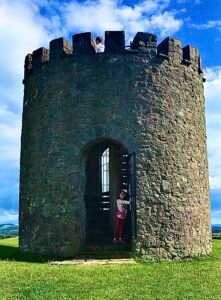
Burrow Mump Circular Walk

Explore this great family walk, with far-reaching views over the Somerset Levels

The view up to Burrow Mump, Burrowbridge


WALK INFORMATION:

Distance: 5 Miles (8km)
OS Map: Landranger 182; Explorer 140
Elevation: 24m
Dog Friendly: Yes but need to be kept on a lead when around livestock
Start/Finish Grid Ref: ST360305
What3Words: ///neat.envoy.track
Accessibility: Not suitable for wheelchairs or pushchairs
Parking: NT Burrow Mump car park off the A361 (free) limited spaces. TA7 0RB
Kids will love: Views, ruin, river and rhynes, pub lunch!

Cadbury Hill Nature Reserve Circular Walk

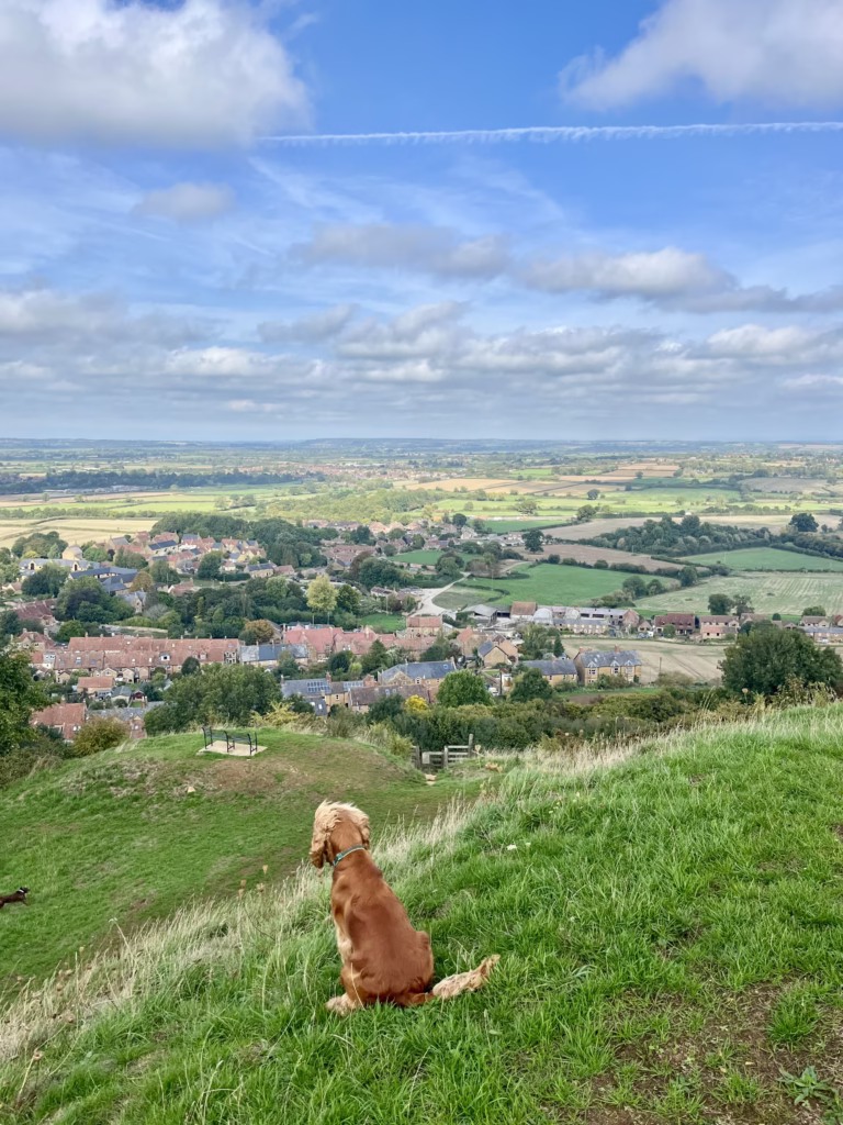
Explore this great family walk, with far-reaching views over the North Somerset Levels

View from Cadbury Hill


WALK INFORMATION:

Distance: 1.2 Miles (3.2 km)
OS Map: Landranger 172; Explorer 154
Elevation: 60m
Dog Friendly: Yes but need to be kept on a lead when around livestock
Start/Finish Grid Ref: ST343769 65194
What3Words: ///shopper.claw.among
Accessibility: Not suitable for wheelchairs or pushchairs
Parking: 2 Small car parks on Henley Lane, Yatton, BS49 4AF (free). The first one belongs to the Cricket Club so use the second one if this is full.
How long does it take: Allow 1-1.5 hrs including stop for rope swing and snacks. (45 mins at a leisurely stroll without kids)
Kids will love: Iron Age Hillfort, woods, wildflowers, great views and a rope swing!

Pensford Viaduct Circular Walk

A pretty walk along the River Chew taking in the magnificent structure of Pensford Viaduct.

Walking towards the Pensford Viaduct

Distance: 4.2 Miles (6.75 km);
OS Map: Landranger 172; Explorer 155
Elevation: 80m
Dog Friendly: Yes (beware of live stock)
Start/Finish Grid Ref: ST62029 63935 (Pensford Memorial Hall)
Accessibility: Not suitable for wheelchairs or pushchairs
Parking: Limited parking on Publow Lane near Pensford Memorial Hall).
What3Words: ///string.carefully.rainfall
Kids will love: Pensford Viaduct, River Chew, Publow Weir, pub lunch!

Draycott Sleights Circular Walk

Stunning views from The Mendip Hills over The Somerset Levels. A lovely wildlife walk in the summer months.

Draycott Sleights walk

Distance: 2.75 Miles (4.4 km)
OS Map: Landranger 172; Explorer 154
Elevation: 120m
Dog Friendly: Yes
Start/Finish Grid Ref: ST 47748 50966
What3Words: ///shifters.health.jumpy (start/finish)
Accessibility: Unsuitable for pushchairs and wheelchairs on most of the route
Parking: No official car park. Limited roadside parking near The Strawberry Special pub or the bottom of New Road.
Kids will love:Wildlife spotting, rock scrambling, wildflowers, beautiful views and a strawberry shop! (summer)

Blaise Castle Circular Walk

One of the best family walks in Bristol with lots to see and do for kids. This walk has everything.

Blaise Castle

WALK INFORMATION:
Distance: 4 .1 Miles (6.6km)
OS Map: Landranger 172; Explorer 155
Elevation: 144m
Dog Friendly: Yes
Start/Finish Grid Ref: ST 55890 78659 (Car Park)
What3Words: /// lived.empty.meal
Accessibility: Unsuitable for pushchairs and wheelchairs on most of the route
Parking: Free on Kings Weston Road (limited space) or pay in Blaise Castle Estate car park BS10 7QS, (£3 for 5 hrs), or pay at The Dingle car park BS9 2PA (limited).
Kids will love: House museum (events for kids), parkland, folly castle, caves, stream for paddling, legends of giants, woodland, 2 children’s play parks, fairytale cottages, awesome views and ice cream!

Castle Combe Circular Walk

This circular route takes in quiet country lanes and footpaths, wooded combes, ancient bridges and a pretty brook. This walking route starts from Castle Combe in the Cotswolds, often called the prettiest village in England.

Kids playing next to the river in Castle Combe

Distance: 2.7 Miles (4.3 KM)
OS Map: Landranger 173; Explorer 155
Elevation: 83m
Dog Friendly: Yes
Start/Finish Grid Ref: ST84199 77188 (Village)
What3Words: /// waged.owner.above
Accessibility: Unsuitable for pushchairs and wheelchairs on most of the route. Steep steps near the end.
Parking: Car park on Dunns Lane (charges apply)
Kids will love: Stream for paddling, bridges for playing pooh sticks, ducks to feed, tea rooms and play park in Castle Combe

If you’re looking for the best places to see snowdrops, I’ve put together all the top places where you can see snowdrops in Somerset and within an easy drive of Somerset this spring. There are some lovely snowdrop woods, snowdrop gardens with stunning displays and family walks all over Somerset and within an easy drive.

Spring is one of the best times to go out for a walk. Every year bluebells transform woodland floors and hedgerows across Britain. There is always something special about a walk in the woods when the woodland floor is awash with a carpet of blue flowers.

Disclaimer: Somerset Family Adventures hope you enjoy the website and while we have made every attempt to ensure that the information on the website is accurate, we ask you to remember that whilst the suggested walking routes follow permitted paths and rights of way, these permissions can be withdrawn and routes diverted.

You should always carry a backup means of navigation and not rely on a single phone, app or map. Walking can be dangerous and is done entirely at your own risk. Information is provided free of charge; it is every walker’s responsibility to check it and to navigate safely, and we cannot accept responsibility for changes, errors or omissions.

Scroll to Top